Property Record
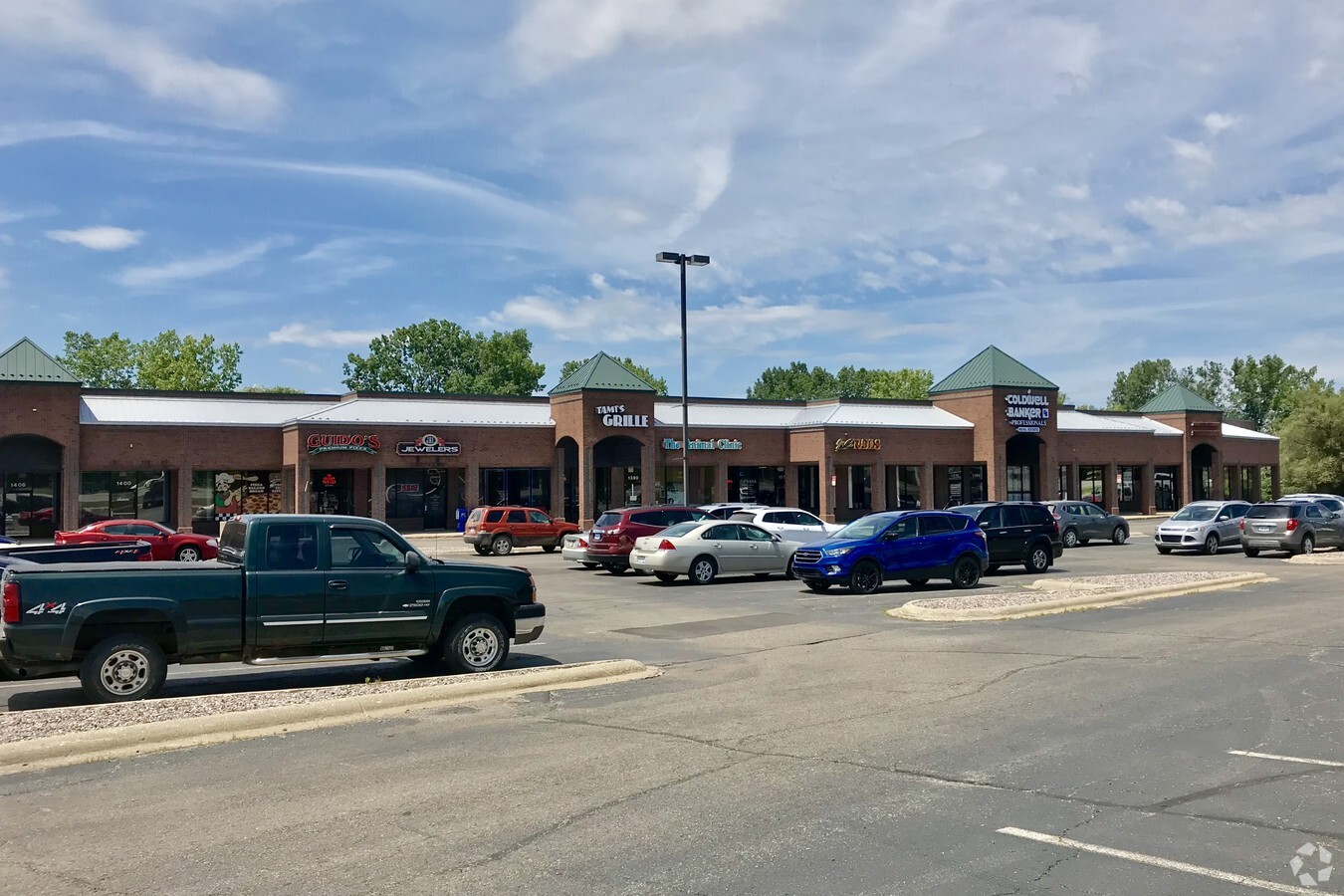
1350 S Lapeer Rd, Oxford, MI 48371


NEARBY LISTINGS FOR SALE OR LEASE
Property Detail
1350 S Lapeer Rd
Detroit-Warren-Dearborn, MI
Red Barn Village
04-35-177-020
T5N, R10E, SEC 35 PART OF NW 1/4, ALSO OF 'RED BARN VILLAGE' PART OF LOT 48, ALSO OF 'FISHER'S SUB' PART OF LOT 1 ALL DESC AS BEG AT PT DIST N 89-17-12 E 1935.42 FT & N 00-43-00 W 60 FT FROM W 1/4 COR, TH N 89-17-12 E 567.06 FT, TH ALG CURVE TO LEFT,
Regionalshoppingcenterormallwithanchorstore
Oakland
X
Michigan
26125C0236F
1,48
2024
9.08 AC
2024
St Clair & Lapeer Counties
121800
Detroit
81,921 SF
DEMOGRAPHICS near 1350 S Lapeer Rd
1 Mile
3 Mile
5 Mile
2024 Total Population
3,893
32,239
51,792
2029 Population
3,863
32,042
51,604
Pop Growth 2024-2029
(0.77%)
(0.61%)
(0.36%)
Average Age
41
41
41
2024 Total Households
1,513
12,321
19,478
HH Growth 2024-2029
(0.86%)
(0.63%)
(0.35%)
Median Household Inc
$90,571
$96,338
$100,731
Avg Household Size
2.60
2.60
2.60
2024 Avg HH Vehicles
2.00
2.00
2.00
Median Home Value
$325,888
$319,905
$343,873
Median Year Built
1992
1983
1989
Nearby Places
- Restaurants
- Banks
- Shops
- Fitness
- Groceries
PUBLIC TRANSPORTATION
AIRPORT
Bishop International
DRIVE
WALK
Distance
Bishop International
62 min
40.8 mi
Freight Ports
Port of Toledo
DRIVE
WALK
Distance
Port of Toledo
123 min
99.4 mi
SALE & LEASE HISTORY
LISTING DATE
SALE/LEASE

Sep 25, 2016
For Lease
Nearby Properties
Address
Land Use
TOTAL SIZE
Lot Size
Zoning
Address
Land Use
TOTAL SIZE
Lot Size
Zoning
172,881 SF
16.51 AC
Address
Land Use
TOTAL SIZE
Lot Size
Zoning
148,898 SF
14.55 AC
BI
Address
Land Use
TOTAL SIZE
Lot Size
Zoning
272,879 SF
Address
Land Use
TOTAL SIZE
Lot Size
Zoning
188,367 SF
Address
Land Use
TOTAL SIZE
Lot Size
Zoning
188,367 SF
26.37 AC
Address
Land Use
TOTAL SIZE
Lot Size
Zoning
89,899 SF
6.41 AC
BI
Address
Land Use
TOTAL SIZE
Lot Size
Zoning
4,670 SF
81.02 AC
MM
Address
Land Use
TOTAL SIZE
Lot Size
Zoning
65,459 SF
5.65 AC
BI
Address
Land Use
TOTAL SIZE
Lot Size
Zoning
207,073 SF
19.74 AC
Address
Land Use
TOTAL SIZE
Lot Size
Zoning
187,506 SF
19.19 AC
AI
Address
Land Use
TOTAL SIZE
Lot Size
Zoning
4,717 SF
73 AC
MM
Address
Land Use
TOTAL SIZE
Lot Size
Zoning
53,715 SF
4.28 AC
ME
Address
Land Use
TOTAL SIZE
Lot Size
Zoning
58,009 SF
168.28 AC
BI
Address
Land Use
TOTAL SIZE
Lot Size
Zoning
187,573 SF
12.29 AC
II
Address
Land Use
TOTAL SIZE
Lot Size
Zoning
10,920 SF
494.26 AC
SV
Address
Land Use
TOTAL SIZE
Lot Size
Zoning
62,893 SF
6.82 AC
Address
Land Use
TOTAL SIZE
Lot Size
Zoning
34,753 SF
Address
Land Use
TOTAL SIZE
Lot Size
Zoning
38,468 SF
5.16 AC
BI
Address
Land Use
TOTAL SIZE
Lot Size
Zoning
39,217 SF
4.39 AC
BI
Address
Land Use
TOTAL SIZE
Lot Size
Zoning
37,908 SF
4.66 AC
BI
Address
Land Use
TOTAL SIZE
Lot Size
Zoning
52,847 SF
1.65 AC
Address
Land Use
TOTAL SIZE
Lot Size
Zoning
45,220 SF
4.79 AC
BI
Address
Land Use
TOTAL SIZE
Lot Size
Zoning
29,026 SF
2.66 AC
BI
Address
Land Use
TOTAL SIZE
Lot Size
Zoning
39,085 SF
2.47 AC
AI
Address
Land Use
TOTAL SIZE
Lot Size
Zoning
52,208 SF
2.64 AC
II
Address
Land Use
TOTAL SIZE
Lot Size
Zoning
29,520 SF
2.93 AC
AI
Address
Land Use
TOTAL SIZE
Lot Size
Zoning
26,073 SF
63.54 AC
MM
Address
Land Use
TOTAL SIZE
Lot Size
Zoning
86,115 SF
6.41 AC
BI
The World's #1 Commercial Real Estate Marketplace
Connect with us
© 2025 CoStar Group
The information above has been obtained from sources believed reliable. While we do not doubt its accuracy we have not verified it and make no guarantee, warranty or representation about it. It is your responsibility to independently confirm its accuracy and completeness. Any projections, opinions, assumptions, or estimates used are for example only and do not represent the current or future performance of the property. The value of this transaction to you depends on tax and other factors which should be evaluated by your tax, financial, and legal advisors. You and your advisors should conduct a careful, independent investigation of the property to determine to your satisfaction the suitability of the property for your needs.